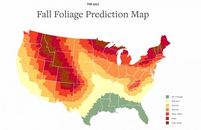
Word on the street has it that Mother Nature is going to put on quite a show. Use this interactive map to find out when peak fall foliage is expected in your area (or travel destination).

Autumn carries more gold in its pocket than all the other seasons.
― Jim Bishop
Today is the first day of fall, which is my Sunday evening of the year. It’s not that I hate fall, but fall means WINTER IS COMING, which were words that struck fear into my heart even before Ned Stark imbued them with especially ominous meaning.
For anyone that deals with SAD (seasonal affective disorder) on an annual basis, fall is bittersweet. Around these parts it’s objectively, inarguably a beautiful time to be alive. The leaves are (usually) magnificent, the sleeping weather lovely; all the pumpkin things come out to play; we get to break out the high boots and comfy sweaters and plan for Halloween while tromping through apple picking fields. I love all those bits. I just wish we could go from there to spring with maybe just a few weeks of frost and snow, rather than all those dark, grey days of cold rain and gross slush and sludge— with astronomic heating bills and temperatures that hurt my face— in between.
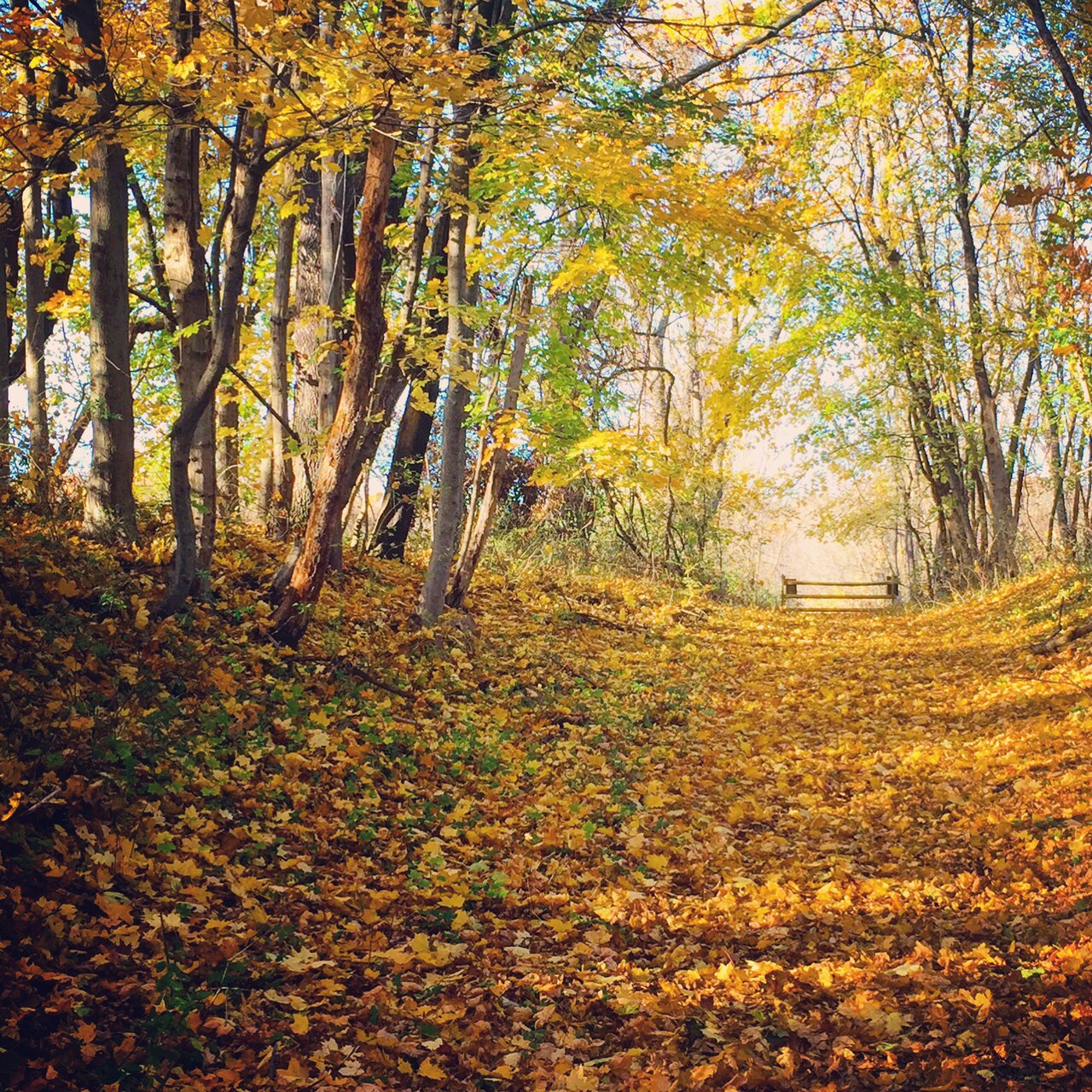
In an effort to focus on the positive though: the fall foliage display this year is supposed to be spectacular, especially in New England, thanks to a relatively mild summer and no serious drought or insect infestations.

SmokyMountains.com has a simple interactive map that shows you when and where peak fall foliage is expected to take place across the country. Just move the slider from August 13th to October 29th to see the colors on the map change as they correspond to the colors of the leaves changing.
The site also offers up a very thorough explanation of the science behind why the leaves change color and fall, as well as some cute coloring pages for the kids and a very pretty collage of real-time Instagram posts tagged #autumnleaves. Check it out and get your camera ready!


